
Filter by
SubjectRequired
LanguageRequired
The language used throughout the course, in both instruction and assessments.
Learning ProductRequired
LevelRequired
DurationRequired
SkillsRequired
SubtitlesRequired
EducatorRequired
Results for "geospatial mapping"
Coursera Project Network
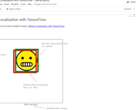
Skills you'll gain: Tensorflow, Keras (Neural Network Library), Test Data, Image Analysis, Computer Vision, Artificial Neural Networks, Deep Learning
University of California, Davis
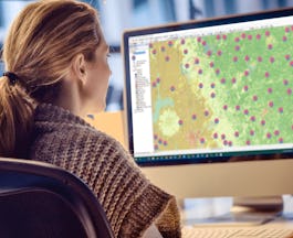
Skills you'll gain: ArcGIS, Data Storytelling, GIS Software, Spatial Data Analysis, Data Presentation, Geographic Information Systems, Spatial Analysis, Geospatial Mapping, Geospatial Information and Technology, Heat Maps, Data Visualization Software, Network Analysis, Data Manipulation

University of California, Davis
Skills you'll gain: Data Storytelling, Data Presentation, Data Visualization Software, Key Performance Indicators (KPIs), Data Integration, Dashboard, Data Visualization, Interactive Data Visualization, Data Mapping, Tableau Software, Proposal Development, Data-Driven Decision-Making, Histogram, Scatter Plots, Exploratory Data Analysis, Storytelling, Performance Metric, Performance Measurement, Infographics, Performance Analysis
Coursera Project Network
Skills you'll gain: Flask (Web Framework), Web Development, Web Applications, Web Development Tools, Object-Relational Mapping, Database Application, Back-End Web Development, Python Programming
Skills you'll gain: SAS (Software), Forecasting, Spatial Data Analysis, Data Visualization Software, Time Series Analysis and Forecasting, Data-Driven Decision-Making, Predictive Analytics, Geospatial Mapping, Data Analysis, Geographic Information Systems, Data Manipulation, Statistical Programming
 Status: Free
École Polytechnique Fédérale de Lausanne
Skills you'll gain: Spatial Data Analysis, Geospatial Mapping, Geospatial Information and Technology, Geographic Information Systems, Spatial Analysis, GIS Software, Global Positioning Systems, 3D Modeling, Visualization (Computer Graphics), Survey Creation, Systems Of Measurement
University of Toronto
Skills you'll gain: Geographic Information Systems, GIS Software, Spatial Analysis, Spatial Data Analysis, Geospatial Mapping, Query Languages, Data Processing, Data Manipulation, Image Analysis
 Status: Free
Coursera Instructor Network
Skills you'll gain: Process Mapping, Strategic Thinking, Process Analysis, Process Management, Business Workflow Analysis, Operational Efficiency, Business Process, Process Improvement, Lean Methodologies, Value Engineering, Waste Minimization
University of Toronto
Skills you'll gain: Spatial Analysis, Geographic Information Systems, Geospatial Mapping, ArcGIS, GIS Software, Data Manipulation, Data Synthesis, Data Visualization, Data Compilation, Data Processing, Data Mapping, Data Storytelling, Metadata Management, Data Integration, Data Management

Johns Hopkins University
Skills you'll gain: Rmarkdown, Tidyverse (R Package), Ggplot2, Spatial Data Analysis, Data Visualization Software, Statistical Visualization, Geospatial Information and Technology, Data Manipulation, Scatter Plots, Plotly, Interactive Data Visualization, R Programming, Data Wrangling, Correlation Analysis

Michigan State University
Skills you'll gain: Infographics, Adobe Illustrator, Graphic and Visual Design, Data Mapping, Typography, Design Elements And Principles, Graphical Tools, Color Theory
 Status: Free
Coursera Project Network
Skills you'll gain: ArcGIS, Data Presentation, GIS Software, Spatial Data Analysis, Geographic Information Systems, Geospatial Information and Technology, Geospatial Mapping, Data Import/Export, Data Mapping, Data Manipulation
In summary, here are 10 of our most popular geospatial mapping courses
- Object Localization with TensorFlow: Coursera Project Network
- Geospatial Analysis with ArcGIS : University of California, Davis
- Data Visualization with Tableau: University of California, Davis
- Create Your First Web App with Python and Flask: Coursera Project Network
- Using Data for Geographic Mapping and Forecasting in SAS Visual Analytics: SAS
- Éléments de Géomatique: École Polytechnique Fédérale de Lausanne
- Spatial Analysis and Satellite Imagery in a GIS: University of Toronto
- Value Stream Mapping: Coursera Instructor Network
- GIS, Mapping, and Spatial Analysis Capstone: University of Toronto
- Advanced Data Visualization with R: Johns Hopkins University


